Home
PROJECTS
Publications
Presentations
Meet the Team
Our Partners
Lab News
Contact Us
Public Participatory
Historical GIS
GRACE- GIS Resources & Applications for Career Education
Francophone Migration
Mapping Miners at Home and Work
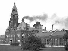
Pullman National Monument Industrial Heritage
Archaeological
GIS for the
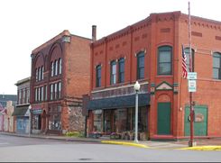
Post-Industrial City
Calumet/Laurium Area
Municipal WebGIS
Imag(in)ing London HGIS
Vernacular Preservation
Houghton
Safe Routes to School
Historical Atlas of Sandwich (Windsor) Ontario
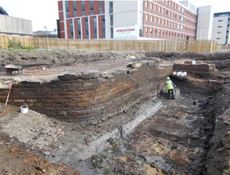
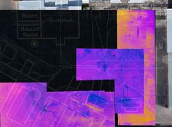
Remote Sensing & Archaeology of
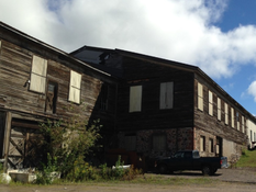
Quincy Smelter Works
Home
PROJECTS
Publications
Presentations
Meet the Team
Our Partners
Lab News
Contact Us